top of page
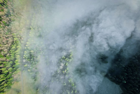
Forest Fires
Fire Detection For Firefigters
Scouting large forest areas for signs of smoke and heat signatures is a predestined task for Beagle Systems. Our drones can cover thousands of hectares per flight, capturing RGB and thermal images.
With this data, high risk areas as well as ongoing wildfires can be monitored. This allows firefighters to have a better overview of the often large and hard to access areas.

01
Select Area to Scan

02
Flight Operated by Us

03
Download Your Data
24h
Data Delivery
Approved
For Flights in the EU
bottom of page